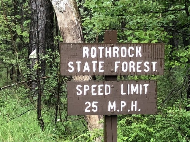
BOALSBURG — The Pennsylvania Department of Conservation and Natural Resources introduced its five- to 10-year recreation plan for Rothrock State Forest after a two-year study determined the best way to manage a trail system that is heavily used in areas closest to State College.
The study was conducted by Jeremy Wimpey, of Applied Trail Research, and Scott Linenburger, of Kay-Linn Enterprises, for DCNR. DCNR’s stated goal is to balance conservation, forestry, stewardship and recreational goals and improve management of moderate- to high-intensity portions of the forest.
Wimpey, along with DCNR district manager Mark Potter, addressed a crowd at the Boalsburg Firehall on July 10 to discuss the study and the 10-year plan moving forward.
“The district started working with them (Applied Trail Research) about two years ago, and we saw the need for some long-term recreational planning on the state forest,’ said Potter. ‘For years, we have been making improvements kind of piecemeal, and looking long-term we felt it would be beneficial, not only for the state forest but for the clubs and organizations that we are working with, to come up with a long-term plan so everyone knows what we are moving toward.”
Wimpey said the study looked at physical sustainability, social sustainability and managerial sustainability, with the understanding this is a trail system that people love and use often.
“The classic focus has really looked at that physical sustainability. How robust is the trail? Does it hold up to the amount of use or the amount use that is occurring on it? We look at that, but we also look at social sustainability, which means is it meeting the needs and desires of the user community, in this case a really diverse and intense user community coming out of Happy Valley and State College,” said Wimpey. “Are we providing them access to the areas they want to go to?”
Wimpey said the study broke up the section of Rothrock State Forest from Route 26 to Route 322 into five different regions, and assessed the trail usage rates and the environmental impact of the trails in the region. The five regions are Galbraith-Shingletown, Mussers-Whipple, Greenwood, Coopers-Coylers Lake and a wild area in the middle of these areas. Wimpey said his team, comprised of graduate students from Virginia Tech and Penn State, looked for feedback from hikers, mountain, bikers, trail runners and equestrian users of the trail while also conducting field studies of the area.
The study found that the area is slated as low-density usage, but is used at a much higher density than that, especially in the Galbraith-Shingletown area, where there is heavy traffic.
The Galbraith-Shingletown area has the closest trail heads to State College, near Tussey Mountain and at Shingletown Gap. The plan looks to cut trails in the Galbraith-Singletown area by 10 percent and add 110 percent more trails to the Mussers-Whipple area.
Wimpey said the recommendation is to encourage more people to use the new trails located in the Musser-Whipple, so there is less use in the Galbraith-Shingletown area. Wimpey also said that the elimination of some of the fall line trails that go straight up the mountain in the area will be replaced by more sustainable trails that will lead to less erosion. Many trails in the Galbraith-Shingletown region and the Greenwood region fall under this category.
Wimpey said he understands that many hikers and trail runners like these types of trails because they provide that “gut-punch” level of effort to climb up, but he said they are not sustainable due to erosion. He also said no trails will be eliminated that provide access to an area without first supplying a replacement trail.
Potter said the plan would be to roll out these changes slowly as part of a five- to 10-year plan, but some trails that are not used will be closed sooner rather than later. He said his small team of forest rangers, with limited funding, cannot maintain the trail system, and he hopes that the plan will bring people together in the community to work on the plan moving forward.
“We would often get different groups wanting different things for the trails and asking about different trails that they like. We wanted this plan so we can get together and actually get something done,” said Potter. “Now, we have a plan.”
Recently, the Friends of Rothrock State Forest was created as such a group. Friends of Rothrock chairman Dan Trew was at the meeting, and he encouraged those who have an interest in the trail system to reach out and become part of the group.
“They are going to be a key to solicit continuity among the trail users and recreational groups,” said Potter. Interested parties can learn more about the group on their website, www.friendsofrothrock.org.
The study and recommendations can be found on the DCNR webpage, www.docs.dcnr.pa.gov.


