Tornadoes have been in the news a lot recently, but don’t press the panic button in State College.
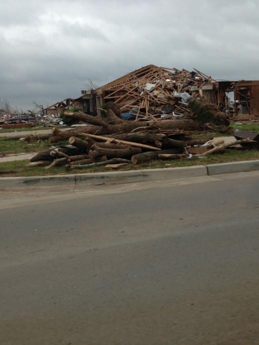
A powerful tornado shredded Moore, Okla. last week and a tornado hit the ground in Erie, Pa Tuesday night, but history suggests that central Pennsylvania – and the state as a whole – is relatively safe.
According to AccuWeather Senior Meteorologist Kristina Pydynowski, the last tornado to hit the Centre County region happened nearly six years ago on August 7, 2007.
The 2007 storm, classified as an EF1, occurred east of Woodward, about 30 miles outside of the State College area. An EF1 tornado packs winds of 86-110 mph. Pydynowski said some homes sustained minor damage and more than 100 trees were uprooted or toppled. Another 100 trees were damaged, but overall the storm was on the “low-end” of the rating scale.
The closest tornado in proximity to the State College area occurred in Boalsburg on February 16, 1990. Under the old rating system, this was classified as an F1, similar characteristics to a current EF1.
While not as close, an F2 tornado with 111-135 mph winds hit northwest of Pine Grove Mills on June 5, 1975. Pine Grove Mills is about six miles from State College.
It may seem like tornadoes have been running wild. But in fact, the number of tornadoes across the country this season has declined sharply this year. Pydynowski said that 441 tornadoes have been reported nationwide as of Thursday. This falls well short of 827, the national average through May 30th from 2005-2011.
Pennsylvania sees about 12 tornadoes per decade. In stark contrast, Kansas averages 116 every year. Texas leads the nation with an average of 142 tornadoes a year. Between 1962 and 2011, there were 120 tornadoes within a 75-mile radius of State College compared to 365 twisters in Oklahoma City.
The worst outbreak of tornadoes in Pennsylvania happened, May 31, 1985. There were 23 confirmed tornadoes on that day 28 years ago. An F4 tornado, with winds between 168-199 mph, hit north of State College raking Moshannon State Forest and Watsontown, Pa.
Colder than normal temperatures in late spring led to a slower than usual start to severe weather season, but an influx of warm air has increased the number of recent storms. That trend may continue this weekend.
Heavy thunderstorms are expected on Sunday, and the wind and rain have the potential to cause some damage. Still, that doesn’t reach the level of a “tornado threat” according to Pydynowski.
A true tornado requires a mix of several elements, mainly warm air allowing thunderstorm clouds to rise and a clash of air masses with some twisting motion in the atmosphere that get tornadoes to form and rotate.
“It has happened a few times before,” said Pydonowski. “But we’re not exactly in tornado alley here.”
Click HERE for the latest AccuWeather forecast on the StateCollege.com homepage.


